St. Andrew stretches from Cross Roads to Rockfort in the east, and reaches up into the Blue Mountains, sharing borders with St. Thomas, Portland, St. Mary and St. Catherine. Overlooking Kingston and St. Andrew, the Blue Mountains reach as high as 1,930 metres at Sir John’s Peak within the municipal boundaries. The fan-shaped Liguanea Plains rise from sea level to the foothills of the Blue Mountains. St. Andrew along with the parish of Kingston has a total coastline area of 64.37 kilometres, with the total area of shoreline (usable coastline) being 48.8 kilometres.
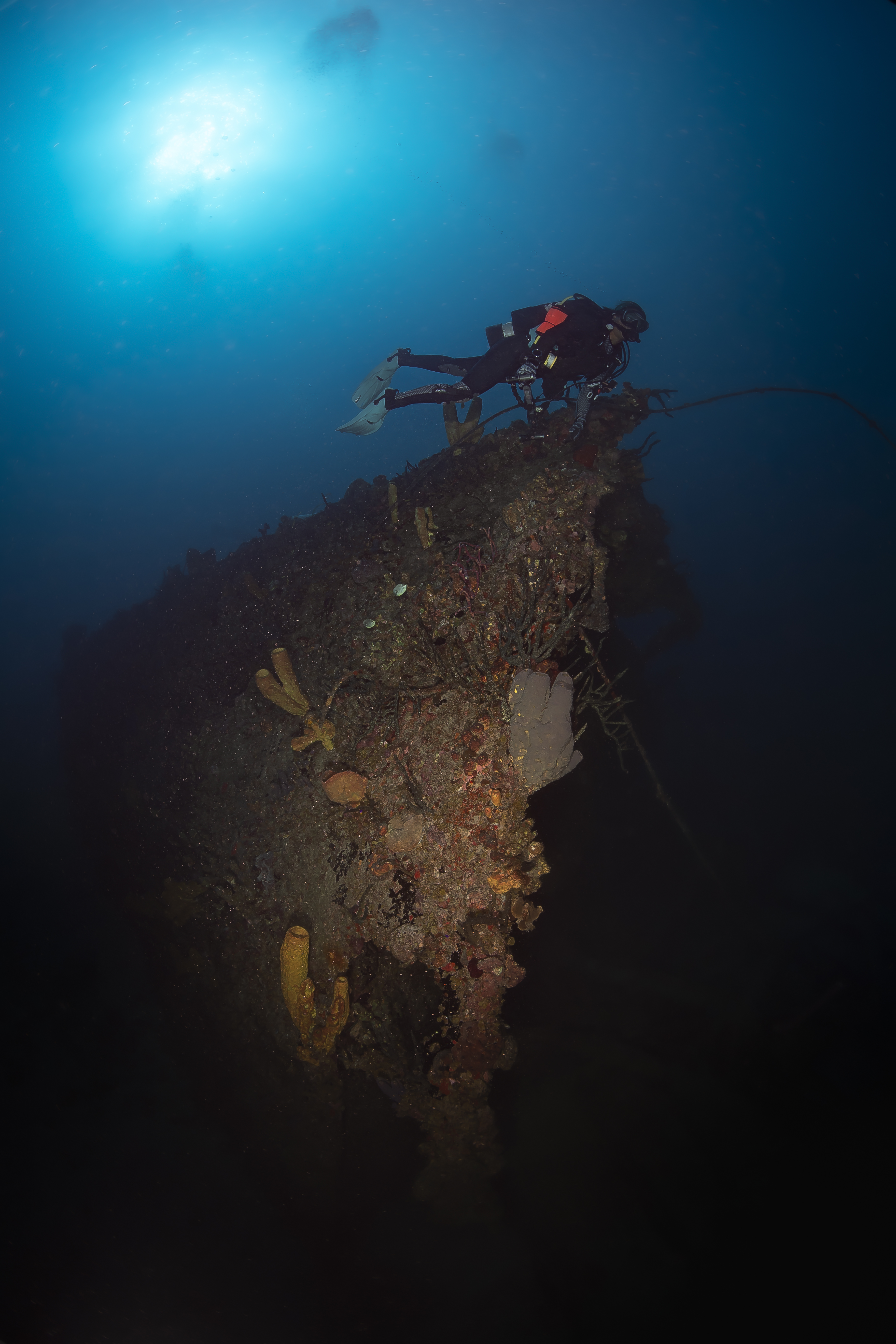
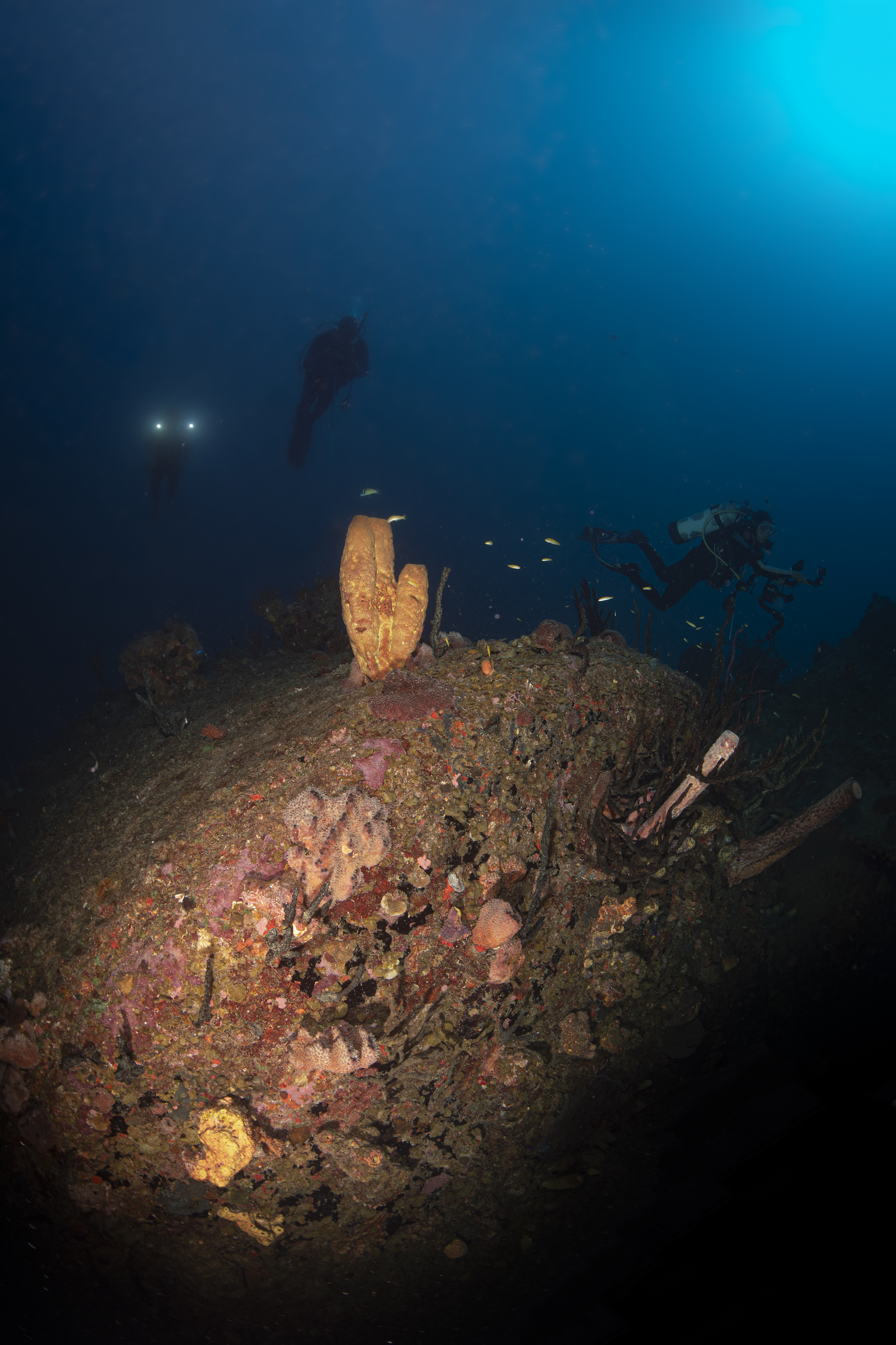
Dive Date: October 19, 2021
Depth: 100-120ft/30-36m
Temperature: 84.2F / 21C
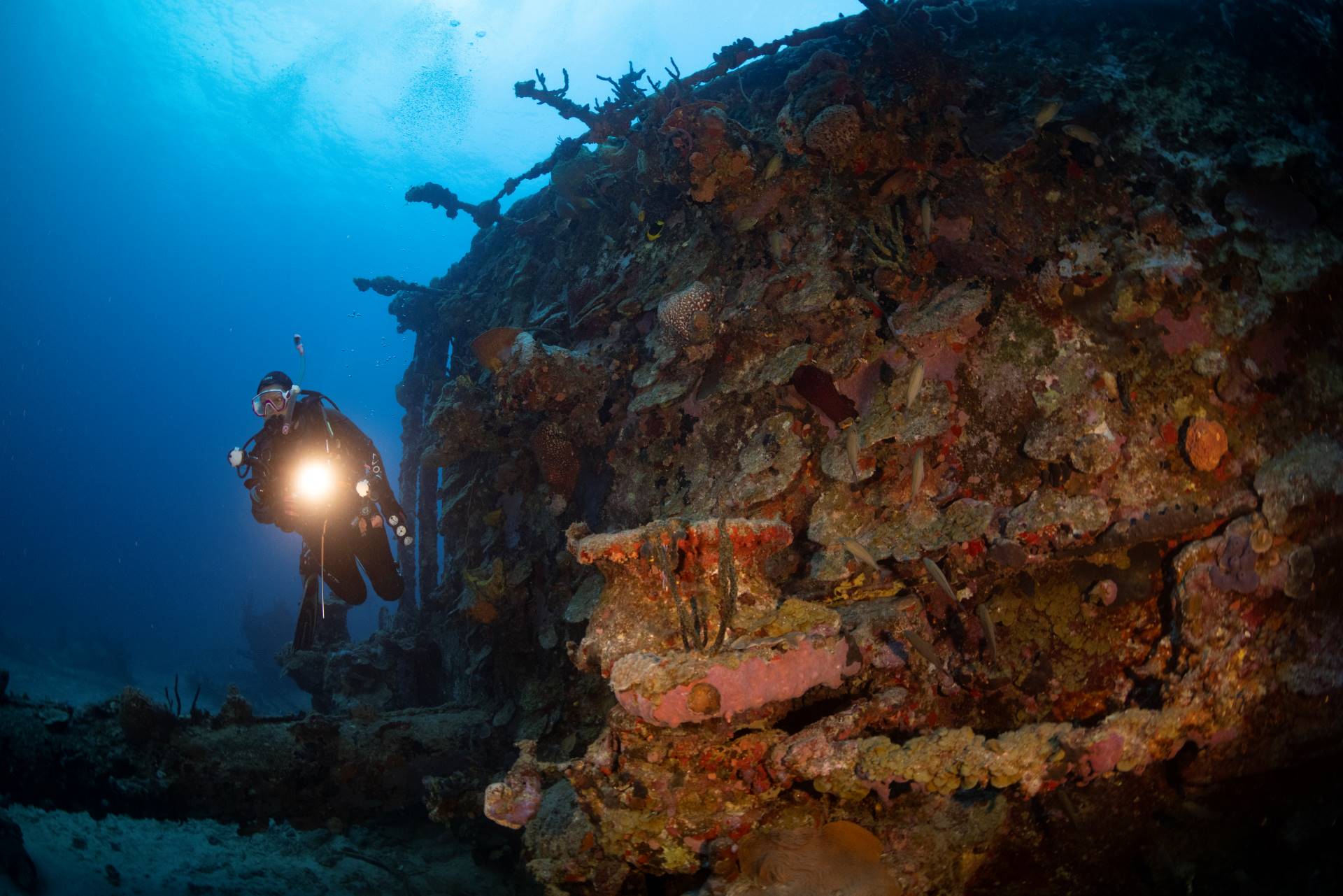
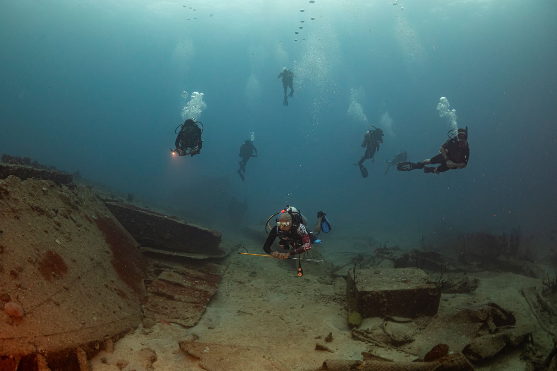
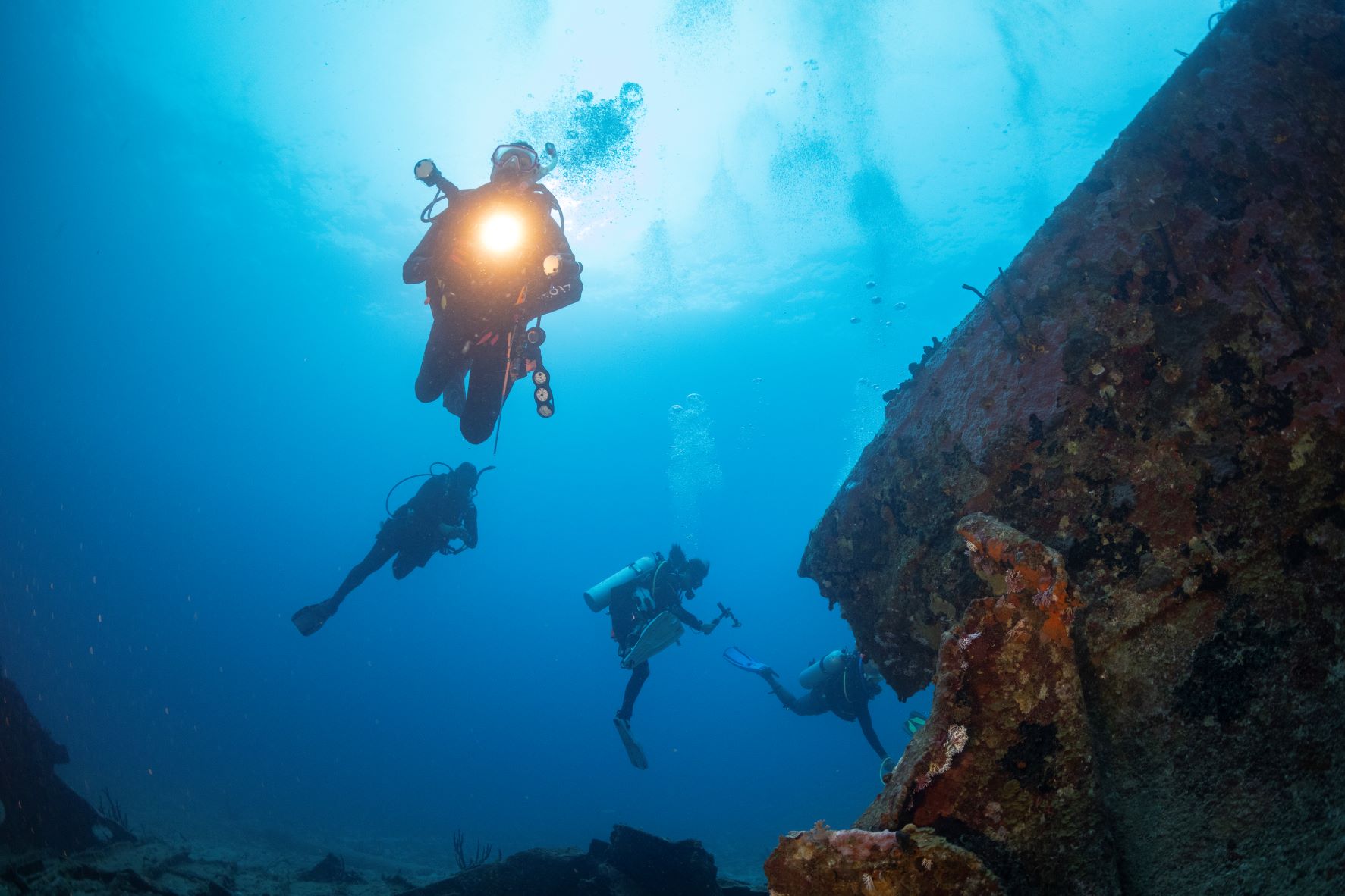
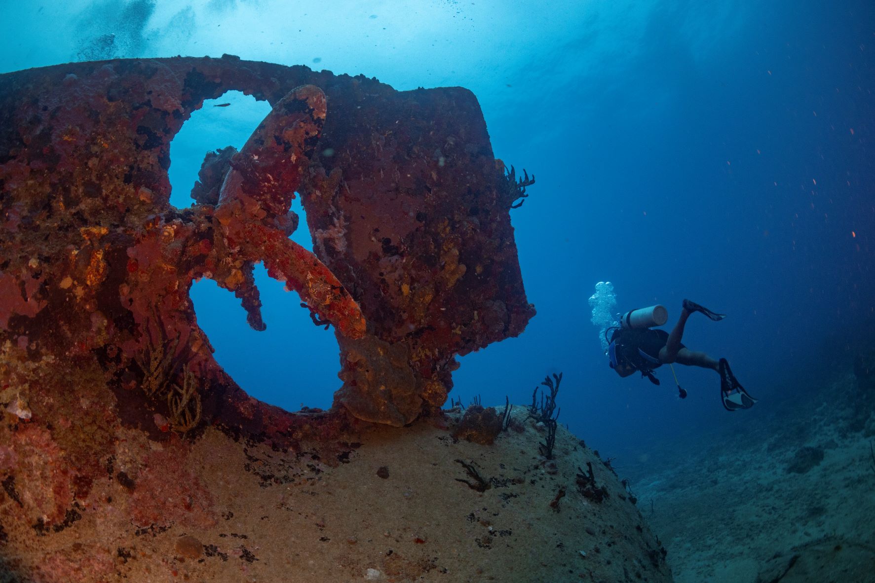
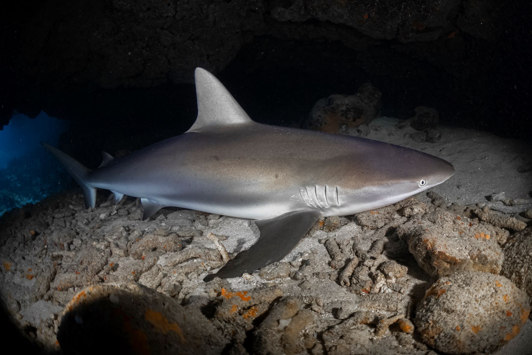
The site of this wreck takes you 7 miles outside of Port Royal, commonly known as Blacktip it has recently been discovered the vessel was a steamship called the Princess May. Originally named the S/S Cass, she was built for the Formosa Trading Company at Newcastle on Tyne in England in 1888. Measuring in at 249ft/76m the Princess May changed owners and names many times during her service. Her colourful history includes a mutiny, being boarded by pirates and running aground on Sentinel Island, Alaska. Her journey to the Caribbean happened in 1919 where she operated until the 1930’s when her engines and propellers were removed and sold, and she was deliberately sunk. After several hurricanes the wreck has been broken up, but the grand scale of the vessel is still a great site to visit. It was initially named the Blacktip because Blacktip reef sharks were a very common sight and quite a few remain residents there to this day but tend to swim off when divers approach. Schools of fish, lobsters and turtles are usually seen hanging around the wreck which is now well established as a marine habitat.


Dive Date: October 19, 2021
Depth: 45ft/13m
Temperature: 84.2F / 29C
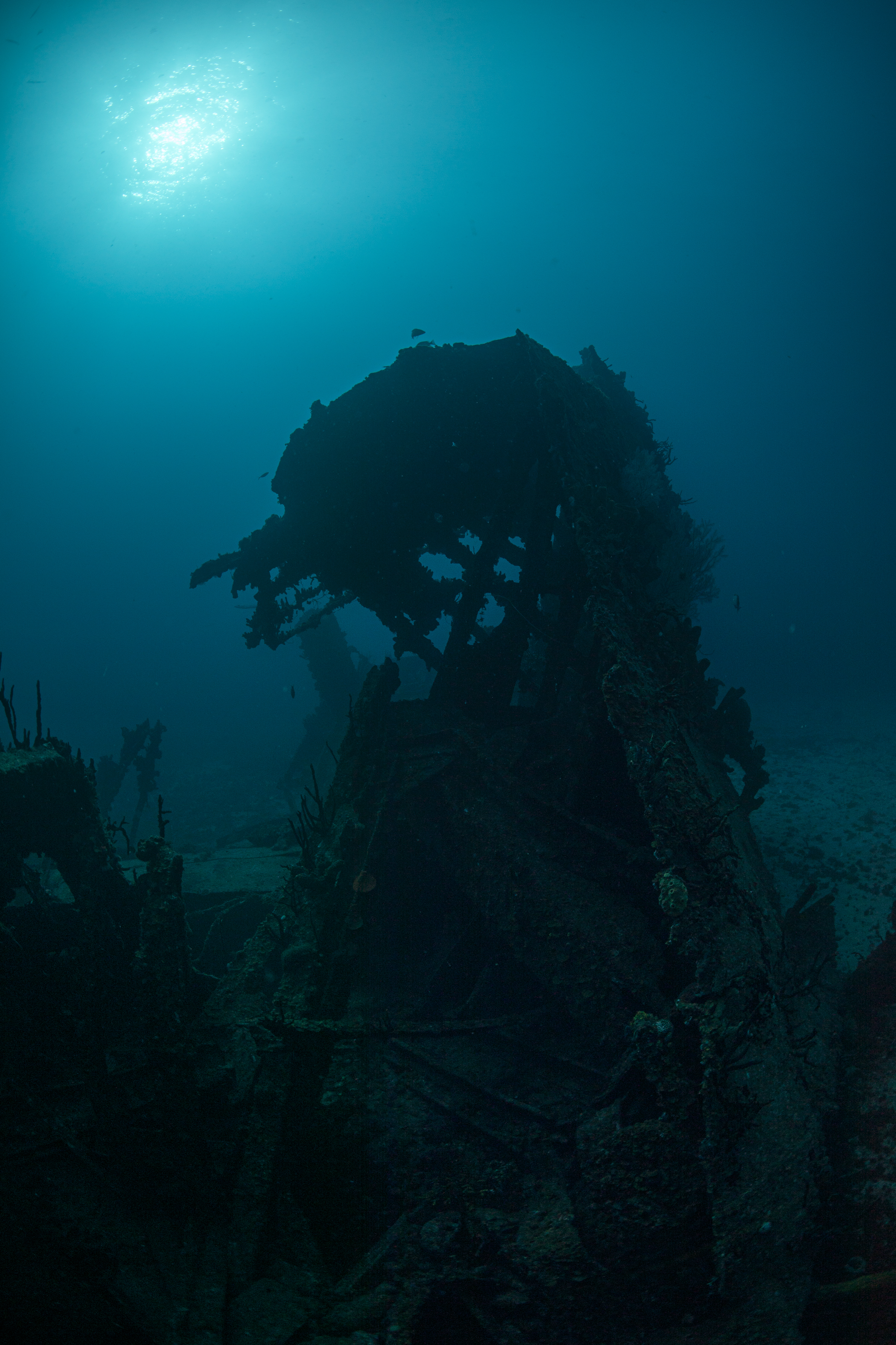
Located close on the barrier reef just outside Kingston harbour the Cayman Trader wreck site sits in shallow waters and is a perfect place for divers of all levels. Back in 1977 the impounded Cayman Trader caught fire while anchored in Kingston Harbor. To prevent it from sinking and blocking the shipping channel the Harbour Master decided to tow it out into deeper waters however the tow line broke due to heavy seas and it came to rest at its current shallow location, thankfully out of the shipping lane. Over the years and especially because of the depth, the storms have broken up this wreck, but it remains a fun site to dive. There are areas to swim through and two shafts that you can descend into. Home to much marine life such as nurse sharks, stingrays, turtles and a host of reef fish.
Dive Date: February 26, 2022
Depth: 90ft / 27.4m
Temperature: 78.8F / 26C
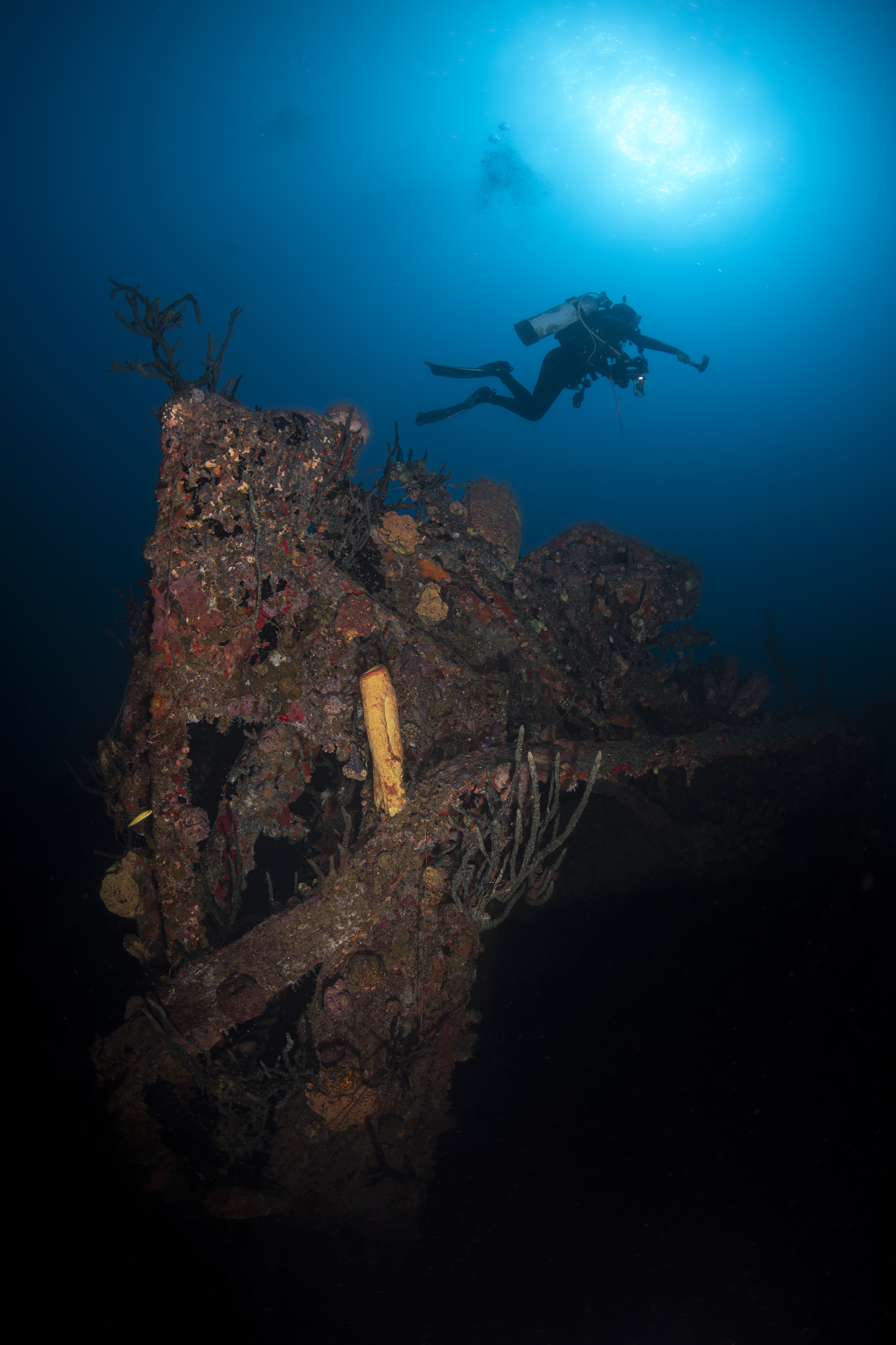
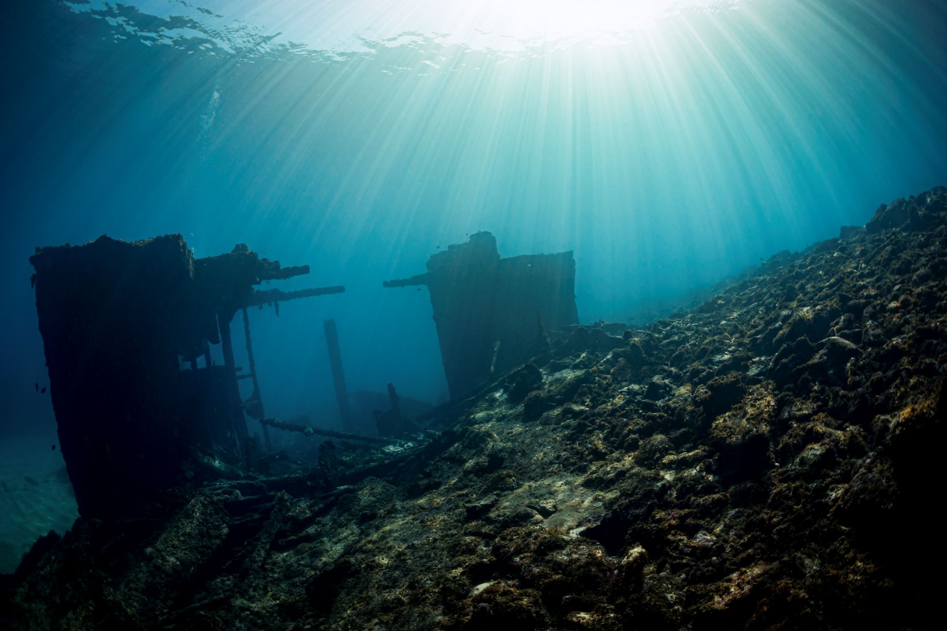
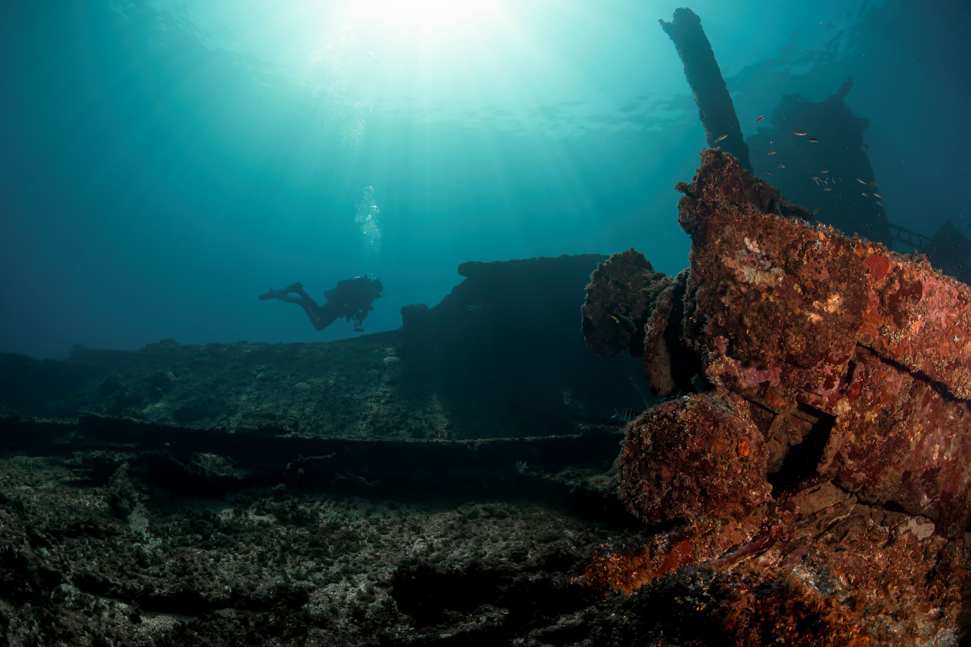
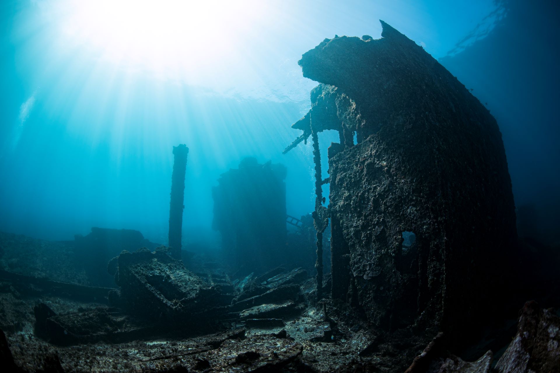
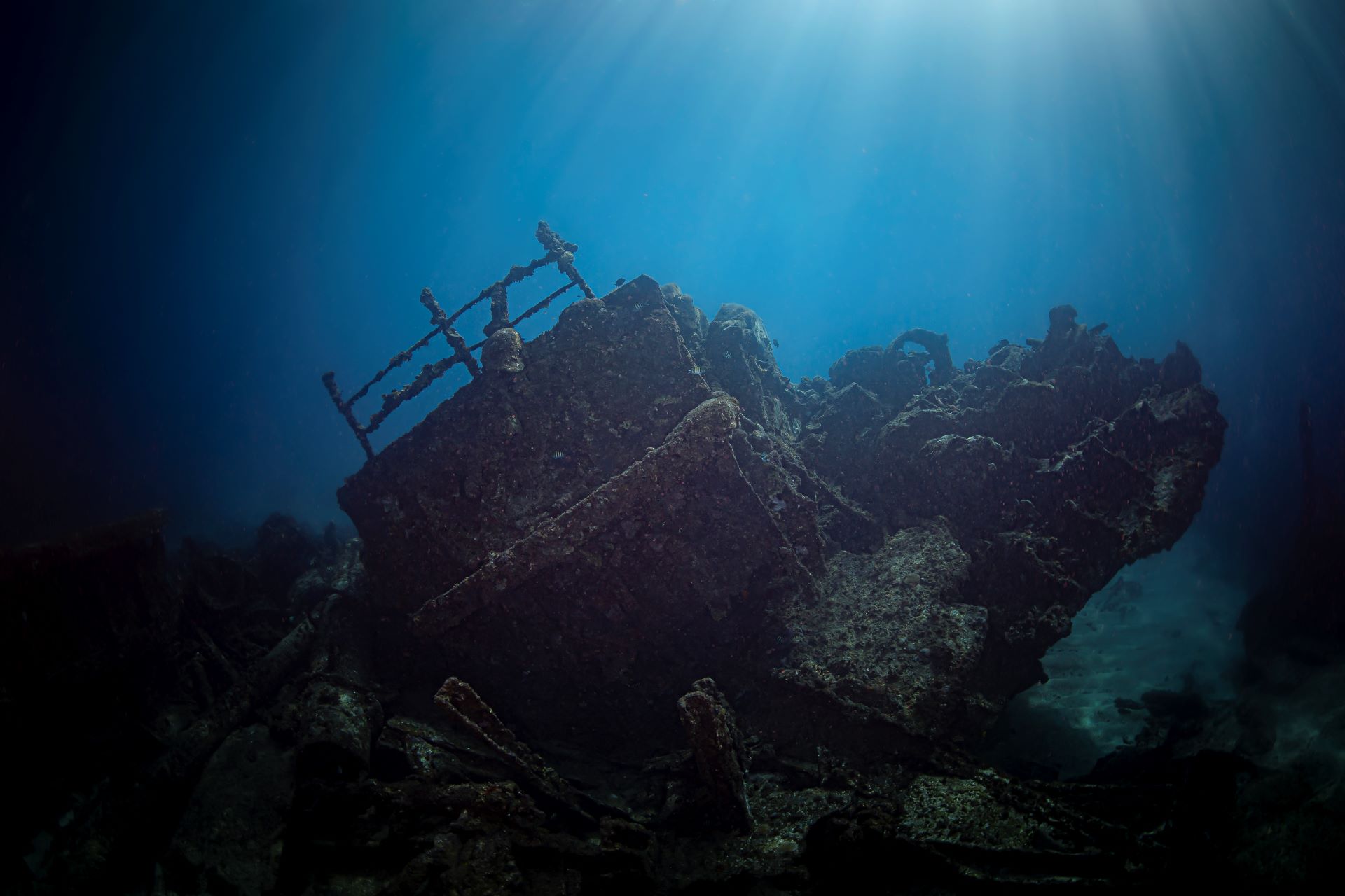
The Edina wreck is another beautiful site that still has interesting sections of the ship still visible. These metal structures allow lionfish to hide and prey on the fish to be found at this site. The old structures have long been covered with coral and sponges of all colours. At 9 miles offshore the Edina is the furthest known dive site in Kingston. Once an intact wreck it now sits broken up after Hurricane Ivan but still has a lot of drama to offer.
Dive Date: February 26. 2022
Depth: 50ft / 15.2m
Temperature: 78.8F / 26C
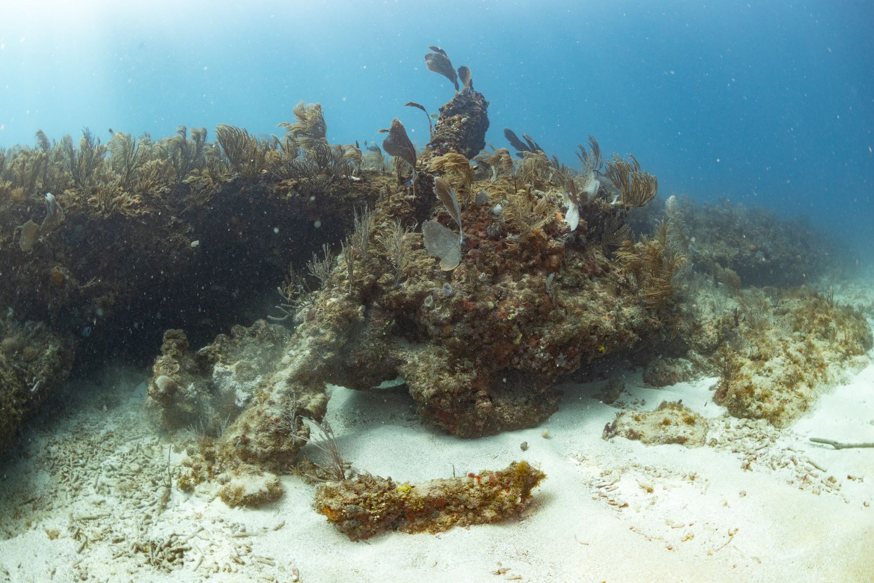
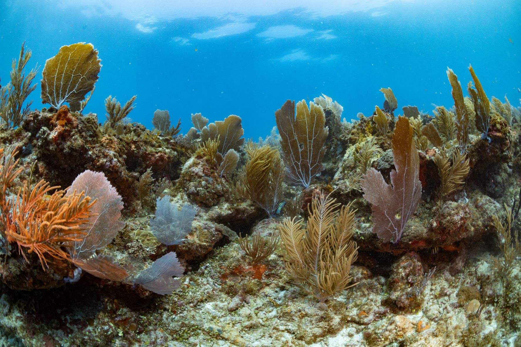
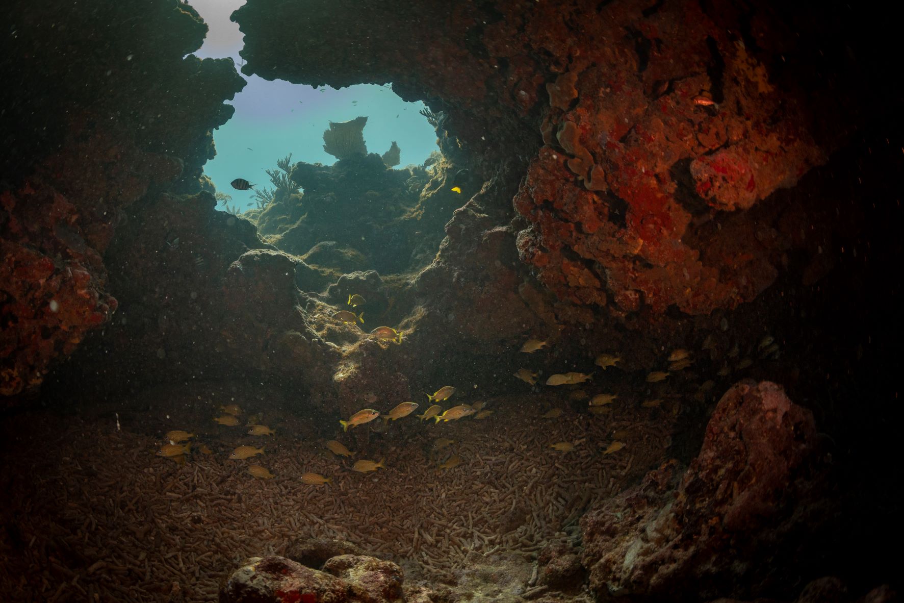
As the name implies there's a big anchor on location of this dive site. It's fully encrusted in coral and sponges and there's no info on which vessel it came from. Surrounding the anchor are a series of overhangs and small caverns that are home to schools of juvenile fish, glassy sweepers and more often than not, sharks!
Mobirise.com